Introduction
Troy, Atlantis — and the North-West European Connection
The search for Atlantis has always felt like chasing a shadow on the edge of history. Yet the deeper I read, the more the shadow begins to take shape — and not in the Mediterranean.
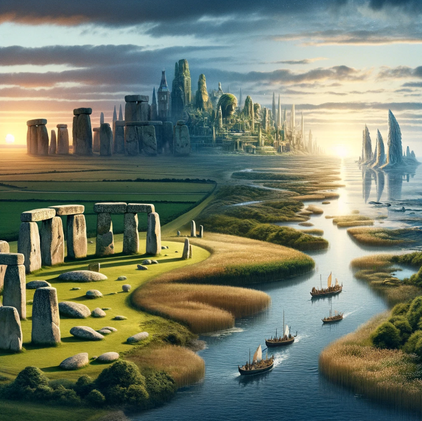
What if both Atlantis and Troy belonged not to the eastern Mediterranean, but to the lost landscapes of north-west Europe?
That suggestion is not as wild as it first sounds.(Troy Debunked – Troy did not exist in Asia Minor)
Plato Was Not Writing Fantasy
The Atlantis story comes to us through Plato, primarily in Timaeus and Critias. The account was said to have been passed from Egyptian priests at Sais to Solon around 590 BCE, and from Solon down to Plato’s own family line.
Now, here is the uncomfortable point for mainstream thinking: Plato was not a myth-maker in the modern sense of the term. His works are studied in the world’s leading universities for their philosophical depth. Aristotle, his student, did not dismiss Atlantis as an invention. Nor did thinkers such as Theophrastus or Poseidonios. Several ancient writers treated Atlantis as a historical tradition.
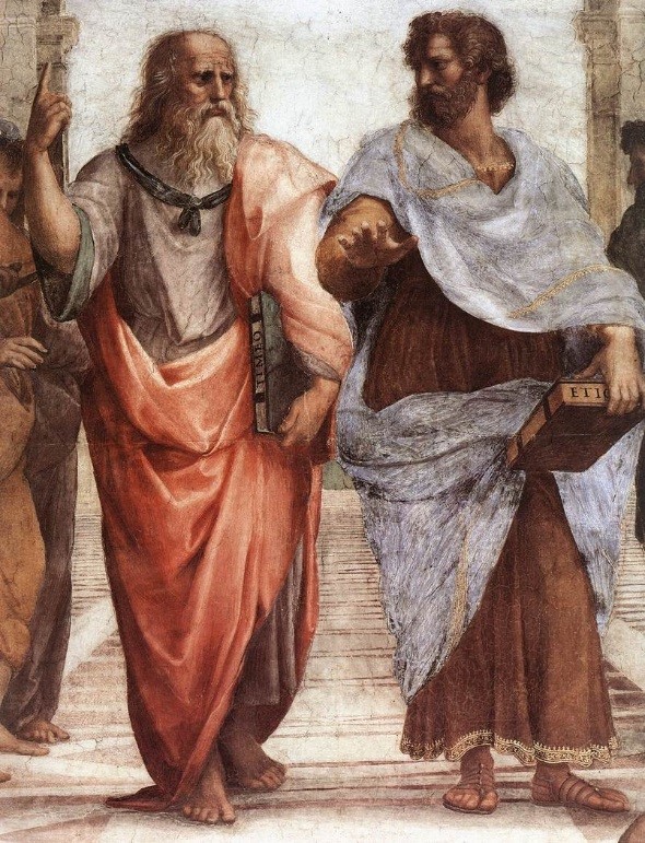
If Plato intended pure allegory, it is strange that later classical authors debated its geography rather than dismissing it outright.
The Egyptian connection is particularly important. Sais was said to hold records carved on sacred pillars — records describing a great civilisation destroyed by a deluge. That word alone — deluge — should make us pause. Nearly every ancient culture preserves a flood memory. If prehistoric societies were heavily maritime, boats would have been survival tools. Flood traditions and seafaring cultures go hand in hand.
The Pillars of Hercules — A Directional Clue
Plato situates Atlantis beyond the “Pillars of Hercules.” The conventional interpretation places these at the Straits of Gibraltar.
But Plato’s terminology is fluid. “Mouth” can mean “strait.” He refers to the Mediterranean as being “within the straits,” suggesting a perspective looking outward — not inward.
If Atlantis lay beyond the Pillars, then by definition it was Atlantic.
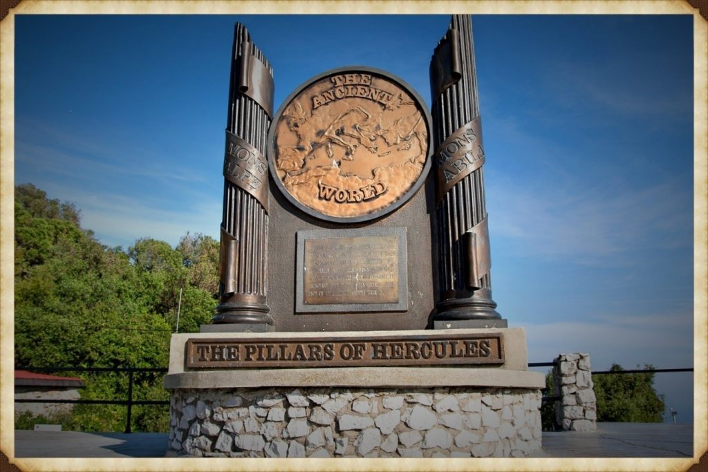
Even the name survives in geography: the Atlantic Ocean.
Critics argue that Atlantis was said to be “larger than Libya and Asia together.” But Libya in Plato’s time referred only to North Africa west of Egypt, and “Asia” generally meant Asia Minor — modern Turkey. Combined, they are not vast in comparison to the landmass that once connected Britain to Europe during lower sea levels.
At the end of the last Ice Age, sea levels were dramatically lower. The North Sea was not sea — it was land. We now call it Doggerland. Britain was not an island. It was a peninsula of a much larger north-west European landmass.
If that land later drowned beneath rising seas, Plato’s description of a powerful Atlantic civilisation destroyed by water suddenly becomes less mythical and more geological.
Island — or Peninsula?
Another linguistic trap lies in the word “island.” In the ancient world, the term could describe large peninsulas or territories bordered by water on multiple sides. If Atlantis was a north-west European peninsula connected to Britain and continental Europe, it could still fit the description.
And if we look at that Ice Age landscape — stretching from eastern Britain through the Low Countries and into Scandinavia — we have a region that easily exceeds the size comparison Plato gives.
The Circular Capital
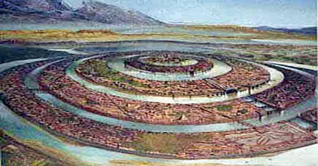
Plato describes Atlantis’ central city as formed in concentric rings of earth and water.
Now consider this: Neolithic Europe is filled with circular earthworks — causewayed enclosures, henges, and ringed settlements. Whitehawk Camp in Sussex, for example, once displayed multiple circular ditches and banks. Similar circular designs occur across Britain and northern Europe.
These are not Mediterranean urban forms.
They are north-west European.
Even more intriguing are the turf mazes scattered across England and the Isles of Scilly — many named “Troy Town” or “The City of Troy.” These labyrinths follow the classical pattern seen on coins from Knossos, linking the labyrinth myth and Troy. Why do so many northern European earthworks preserve Troy in their naming tradition?
Coincidence?
Or cultural memory?
The People of Homer
Then we come to something even more uncomfortable.
In Homer’s epics, the Achaeans — the supposed Greeks — are frequently described as blond, red-haired, or light-skinned. Menelaus is repeatedly called “blond.” Achilles is described with yellow hair. Odysseus is described in terms that imply light or reddish colouring. Helen is “white-armed,” “fair-tressed,” luminous.
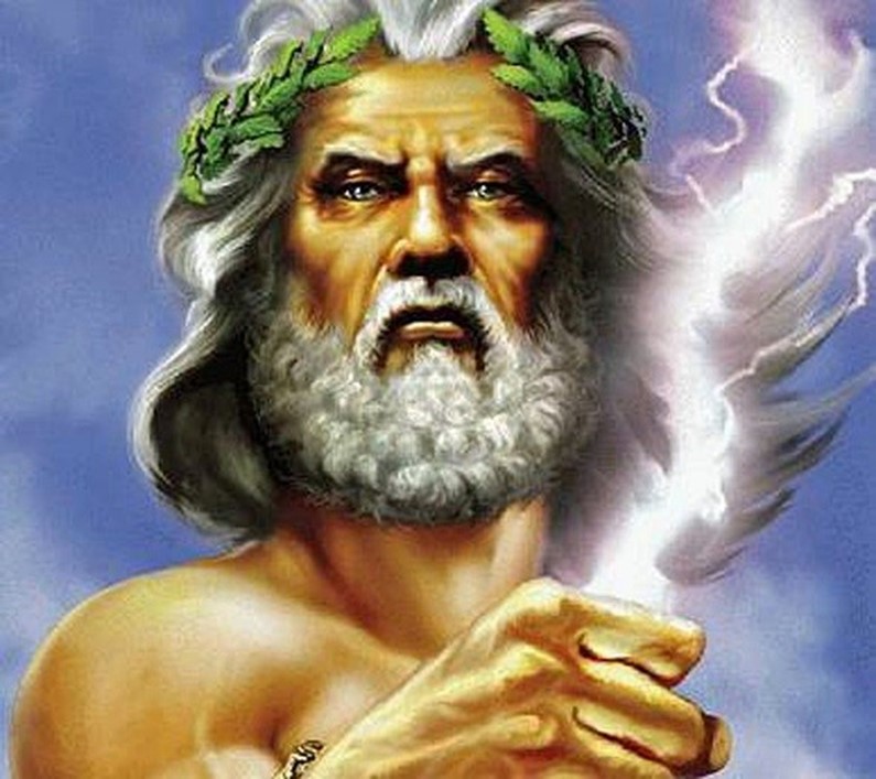
Even the gods — Zeus, Athena, Apollo, Aphrodite — are repeatedly described as blue-eyed or golden-haired in ancient sources.
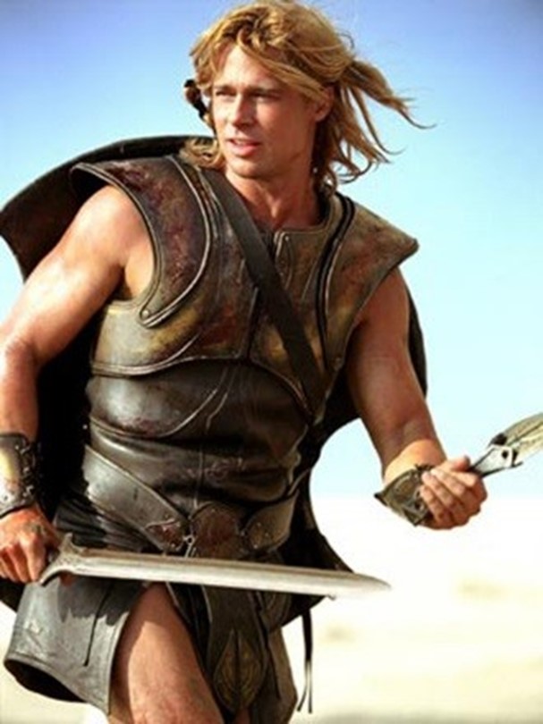
This is not a Mediterranean phenotype.
Now, it is dangerous to oversimplify ancient descriptions, but the repeated emphasis on fair hair and light features is striking. If the Homeric tradition preserves older northern memories, then the epic heroes may reflect populations from farther north.
What if the poems travelled south, rather than originating there?
Troy and the North Sea
The idea that Troy lay in north-west Europe has been proposed before. Iman Wilkens argued for a British location. Others suggested links to the North Sea basin. While these ideas have been dismissed by mainstream scholarship, geological evidence now confirms that Doggerland existed — and drowned — between 10,000 and 6,000 BCE.
We know that vast prehistoric landscapes lie submerged beneath the North Sea. We know that rising waters displaced populations. We know that maritime networks existed far earlier than once believed.
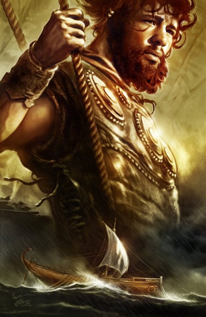
If a powerful Atlantic civilisation flourished on that land — and was later lost to the sea — the memory of it could have travelled.
Plato speaks of Atlantis fielding twelve hundred ships.
The Trojan War tradition speaks of a thousand ships.
Both traditions centre on maritime coalitions and northern powers confronting southern territories.
The parallels are uncomfortable — but they exist.
The Larger Pattern
Let us step back.
We have:
• A flood-destroyed Atlantic civilisation described by Plato
• A lost North Sea landmass proven by geology
• Circular monumental architecture concentrated in northern Europe
• Troy-named labyrinths across Britain
• Homeric heroes repeatedly described with northern physical traits
• Persistent ancient belief that Troy and Atlantis were historical, not fictional
Individually, each point can be dismissed.
Collectively, they form a pattern.
Is this definitive proof?
No.
But it is far more than a coincidence.
If Atlantis was north-west Europe — if Troy belonged not to Anatolia but to a lost Atlantic world — then the centre of early European civilisation shifts dramatically.
And perhaps the reason these traditions feel mythical is not because they were invented…
…but because the land they describe now lies beneath the sea.
Where Troy Once Stood
Where Troy Once Stood (Troy – Debunked) is a book by Iman Wilkens that argues that the city of Troy was located in England and the Trojan War was fought between groups of Celts. The standard view is that Troy is located near the Dardanelles in Turkey. Wilkens claims that Homer’s Iliad and Odyssey, though products of ancient Greek culture, is originally orally transmitted epic poems from Western Europe. Wilkens disagrees with conventional ideas about the Iliad’s historicity and the location and participants of the Trojan War.
Copies of his book ranked high on BookFinder’s list of most wanted out-of-print books until 2005, when the latest revised edition was published. His work has had little impact among professional scholars. Anthony Snodgrass, Emeritus Professor in Classical Archaeology at Cambridge University, has named Wilkens as an example of an ‘infinitely less-serious’ writer.
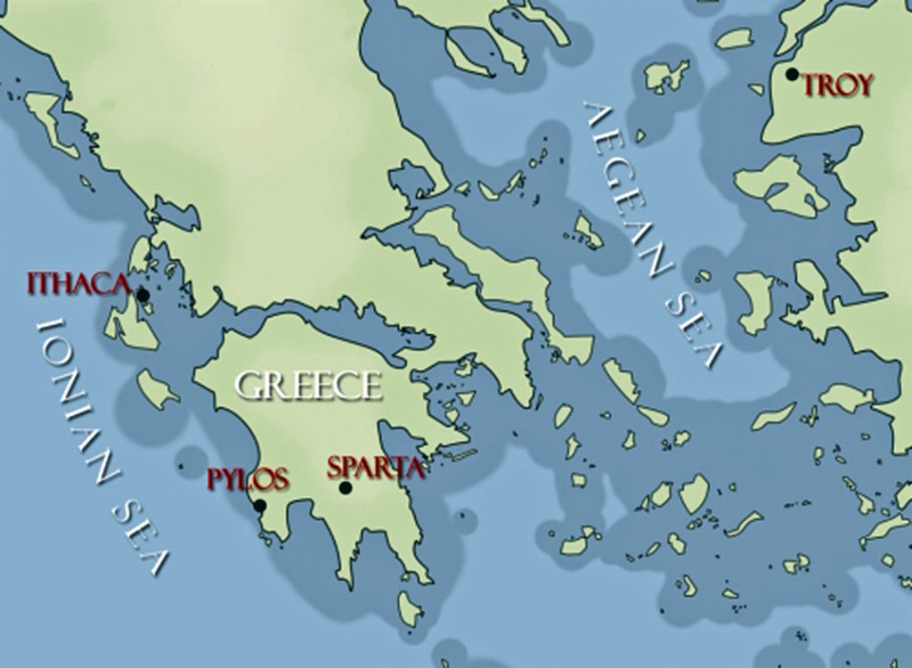
So, what evidence does Wilkens use to prove that Troy was in Northern Europe?
Wilkens argues that Troy was located in England on the Gog Magog Downs in Cambridgeshire. He believes that Celts living there were attacked around 1200 BCE by fellow Celts from the continent to battle over access to the tin mines in Cornwall as tin was an essential component for bronze production.
Wilkens writes that there are similarities between the river names in the Iliad and in present-day England: “Homer names no less than fourteen rivers in the region of Troy.” The rivers Thames, Cam, Great Ouse and Little Ouse, to name a few, can respectively be identified as Temese, Scamander, Simois and Satniois, according to Wilkens. The revised edition of 2005 contains a ‘reconstruction’ of the Trojan battlefield in Cambridgeshire.
Wilkens further hypothesises that the Sea Peoples found in the Late Bronze Age Mediterranean were Celts, who settled in Greece and the Aegean Islands as the Achaeans and Pelasgians. They named new cities after the places they had come from (similar to the migration of many place names to North America) and brought the oral poems that formed the Iliad and the Odyssey with them from Western Europe. Wilkens writes that, after being orally transmitted for about four centuries, the poems were translated and written down in Greek around 750 BCE.
The Greeks, who had forgotten about the origins of the poems, located the Mediterranean’s stories, where many Homeric place names could be found, but the poems’ descriptions of towns, islands, sailing directions and distances were not altered to fit the reality of the Greek setting. He also writes that “It also appears that Homer’s Greek contains a large number of loan words from western European languages, more often from
Dutch rather than English, French or German.” These languages are considered by linguists to have not existed until around 1000 years after Homer.
Wilkens argues that the Atlantic Ocean was the theatre for the Odyssey instead of the Mediterranean. For example, he locates Scylla and Charybdis at present-day St Michael’s Mount.
To prove his theory Wilkens produces archaeological evidence, for instance, the Isleham Hoard in the battlefield, and etymological evidence, for instance, the location of Ismaros in Brittany at Ys or the location of Homer’s Sidon at Medina Sidonia in Spain. He also brings forth indications that Homer described areas around the Atlantic with distinctive topographical features.
Cádiz would match Ithaca’s description; There is in the land of Ithaca a particular harbour of Phorcys, the older man of the sea, and at its mouth two projecting headlands sheer to seaward, but sloping down on the side toward the harbour…
Wilkens believes that Havana’s topography much resembles the description of Telepylos: The harbour, about which on both sides, a sheer cliff runs continuously, and projecting headlands opposite to one another stretch out at the mouth, and the entrance is narrow, …, and the ships were moored within the hollow harbour, for therein no wave ever swelled, great or small, but all about was a bright calm……

Wilkens mentions several sources for his ideas. Belgian lawyer Théophile Cailleux wrote that Odysseus sailed the Atlantic Ocean, starting from Troy, which was situated near the Wash in England (1879). Charles-Joseph de Grave thought that the historical and mythological background of Homer’s work should be sought in Western Europe (1806).
However, this is not the only source that shows the story could be of a different origin. The late Sir Moses Finley, Professor of Ancient History at the University of Cambridge, concluded that ‘we are confronted with this paradox and that the more we know; the ‘worse off, we are’ and he, therefore, suggested that ‘Homer’s Trojan War must be evicted from the history of the Greek Bronze Age’. As it seems complicated to disagree with his conclusion, we are, in my view, left with only two options: the great Trojan War never took place in northwest Turkey and consequently; the Iliad is the fruit of pure imagination, or else; the war did take place but in another country.

And Professor P H Damste (Universities of Utrecht and Leuven) “Valuable knowledge is to be discovered about the people of the Northwest European coast around 1 200 BCE, how they navigated the oceans and a great war between the Kings of continental Europe and the Trojan king in England, who held a monopoly of tin-mining in Cornwall. Such information is encoded in the Iliad and Odyssey.”
And other facts show that the story may not be as straight forward as we once imagined, for when we look at Northern Europe for signs of Troy, we get some interesting facts such as an old legend that Britain was founded by Brutus, who led survivors from Troy here. Geoffrey of Monmouth wrote in his Historia Regum Britanniae an origin myth that traced the foundation of Britain back to the Trojans. This account described how Brutus, great-grandson of Troy’s Aeneas, landed at Totnes, subdued the race of giants who lived there and gave his name to the country he had pacified (Britain = Brutus).
The Romans called the Celtic tribe that occupied this part of Essex the Trinovantes or ‘Trinovante’, which means New Troy or Troy of New.
The Baltic Origins of Homer’s Epic Tales is an essay written by Felice Vinci, a nuclear engineer and amateur historian, published for the first time in 1995. The book, translated into several languages, submits a revolutionary idea about the Iliad and Odyssey’s geographical setting. Felice Vinci started reading Greek classics and learned about a passage from the De facie quae in orbe lunae apparet, by Plutarch, which points out the location of Ogygia. This island became the point of departure of Vinci’s theory.
According to his assumptions, the events told by Homer did not take place in the Mediterranean area, as the tradition asserts, but rather in the seas of Northern Europe, the Baltic Sea and Northern Atlantic. This theory has been widely considered (both in Italy, where the author has been invited to present it in some universities and high schools and the rest of the world) and has caused heated debate among the academic community.

According to Vinci, the Achaeans would have lived at the beginning of the 2nd millennium BCE on the coasts of the Baltic Sea and, towards the middle of the millennium, as the climate grew harsher, they would have moved southward along the Dnepr, reaching the Black and Aegean Seas. The newcomers would have founded the Mycenaean cities (the most ancient Mycenaean graves are rich in amber, a typical Baltic product, whereas the latest ones are not) and would have named them with the names of their previous settlements in Scandinavia, although not precisely in correspondence of their location, because of the physical differences between the two areas.
During their migration, they would have brought their traditional oral tales, poetic sagas set in their original homeland. Therefore, the Trojan War would not have occurred around the 13th century BCE, as is usually thought, but around the 18th century BCE. Then the poems would have been transcribed later, after 800 or 900 years of oral tradition.
In support of the theory, it is essential to remember that the Mycenaeans are not considered an aboriginal population but are thought to have come to Greece around the 16th century BCE. Felice Vinci also reports the hypothesis formulated in the late 19th century by the Indian scholar Bal Gangadhar Tilak, who argued that Indo-European populations had lived around the Arctic Circle in the past. On the other hand, the so-called ‘Linear B’ documents appear to have been written in a language that was a precursor of what later became Greek.
The main topic of Vinci’s hypothesis is the incongruence between the geography described by Homer and the configuration of the Mediterranean lands, a point already noted by Strabo. The geographical descriptions provided by the Iliad and the Odyssey, on the contrary, perfectly adapt to Northern Europe, and the incongruity regarding the Mediterranean localities would be due to the application of old Scandinavian names. Furthermore, Homer’s description of the climate would be more suitable for the Baltic regions.
According to Vinci, Ulysses’ journey would have taken place along the coasts of Norway. After being held back in Ogygia (identified with one of the Faroe Islands, following Plutarch’s passage mentioned above), the Odyssey relates that, after seventeen days on the sea, Ulysses reached Scheria, home of the Phaiakians, described as a high rocky coast and densely wooded: this region, impossible to locate in the Mediterranean area, could be instead identified with the environs of Bergen, at the mouth of river Figgjo, where several Bronze Age objects have been founded (Scheria is never mentioned in the Odyssey as an island).
The new position would explain why Ulysses had noticed that the sea used to flow back into the river: this phenomenon is due to ocean tides and does not occur in the Mediterranean. Other places visited by Ulysses could be located on the Norwegian coasts, too: Circe’s island, Aeaea, and the areas she describes (the Sirens, Scylla and Charybdis) may be placed in the Lofoten archipelago, where tides on the ebb create the so-called maelstrom, corresponding with the Scylla whirlpool which swallowed up Ulysses’ ship and is described as forming three times a day, just like the maelstrom. In the end, Aeolus’s island would be located somewhere in the Shetland archipelago, where winds exceeding 200 km/h often blow.
Other Greek mythological tales are set in the same region. Among these, the Argonauts’ journey, who are said to have reached Colchis sailing eastwards and arriving there at Aeaea, from where they came back to Greece going westwards. The identification of Colchis in the Black Sea and of Aeaea in the Tyrrhenian Sea would lead to hypothesising an improbable itinerary for the Argonauts by ship across Continental Europe, along the rivers Danube, Po, and Rhone. The navigation would be instead the memory of an ancient counter-clockwise circumnavigation of Scandinavia starting from the Baltic Sea, crossing Lapponia overland along the rivers which run through it and reaching Lofoten, where Aeaea was identified. According to what Circe tells Ulysses, the Argonauts chose for their journey home the course passing through the Wanderers Rocks, which are to be identified with the narrow straits covered by the streams between the islands and the mainland.
Another reference to an ancient Nordic setting can be found, according to Vinci, in an assertion by Plato in his dialogue Critias, where the philosopher reminds him that Athens used to rise formerly in a flat fertile zone, not harsh and mountainous: this particular is presented in the book as a reference to the ancient Baltic Athens.
So, how is it possible that Troy was in Northern Europe?
The climate described by Homer is cold and stormy: mist and wind often appear, and storms are heavy. The characters are usually covered in thick cloaks and are never described sweating from the heat. Although in the period generally chosen to date the Trojan War (8th century BCE) the average temperature was lower than it is nowadays, the Homeric weather conditions are difficult to adapt to the Aegean area, especially considering that the events are likely to behave happened in summer, instead, this description would be perfect for the Prehistoric Baltic regions when temperatures in Northern Europe were by far higher than now: the drop in temperatures at a later time would have forced Achaeans to emigrate southwards.
Some passages in the Iliad and the Odyssey can be interpreted as descriptions of typical Nordic phenomena. For example, in the great battle between Achaeans and Trojans, the linchpin of the Iliad’s central books, the time of noon is quoted at two different moments; this wouldn’t be a mistake: the battle would have continued for two consecutive days, thanks to the midnight sun, which let the warriors carry on fighting. Other references to this phenomenon are the exceptional duration of the day among the Laestrygonians and Ulysses’ uncertainty when trying to find his way to Aeaea, since he cannot figure out where the sun rises and where it sets.

In Homeric poems and among the Vikings, it is possible to find similar features regarding traditions, mythology and literature. The custom of assembling for a meeting, the majestic convivial banquets and the kind of exile imposed to unintentional homicide. Also, the Achaean ships would have in common with the Viking ones the dismountable mast, considered useful, especially in the Northern seas to avoid the formation of ice, and the double bow, which allowed oarsmen to travel backwards too (a reference to this aspect might be the Greek term meaning “curved on both sides,” frequently used by Homer; Tacitus describes the same feature concerning the Germans.)
Moreover, the Greek aoidos would be similar to the Old Norse skald, as Homer would often make use of a figure of speech known as kenning in Nordic literature. Also, some mythological figures would be similar in the two cultures (for example, Ulysses to the archer Ull in an Icelandic saga and Hamlet, the main character of an ancient Danish legend reported in Saxo Grammaticus’ Gesta Danorum), as well as many divinities: Aphrodite corresponds with Freyja, Ares with Thor, Zeus with Wotan and the Keres (who come down on the battlefield to take the souls of dead warriors, with the Valkyries).
Wilken’s main points
• The Achaeans built 1186 ships for their attack on Troy; they could have travelled the short-distance overland far quicker and cheaper if Troy had been in the Turkish setting.
• Odysseus claimed to have got home by travelling as a passenger on a ship going from Crete to Sidon (present-day Saïda in Lebanon), but that is the opposite direction he needed to go in the Mediterranean setting.
• Agamemnon tells us it took him a full month to sail from his kingdom Argos to Ithaca; we know the trip takes less than 24 hours in the Mediterranean setting.
• The mythical location for Troy in Turkey is far too small to accommodate the invading army of about 100,000 men and the long pursuits in horse-drawn chariots.
• The extensively travelled Greek geographer Strabo who lived 2000 years ago (1200 years after the Trojan War), believed that some of the ports of call in the Odyssey should be found in the Atlantic because of the mention of tides that do not exist in the Mediterranean.
More information about Troy – Debunked can be found here on our web site: http://prehistoric-britain.co.uk/dawn-of-the-lost-civilisation and on our video channel: www.prehistoric-britain.online
PodCast

Author’s Biography
Robert John Langdon, a polymathic luminary, emerges as a writer, historian, and eminent specialist in LiDAR Landscape Archaeology.
His intellectual voyage has interwoven with stints as an astute scrutineer for governmental realms and grand corporate bastions, a tapestry spanning British Telecommunications, Cable and Wireless, British Gas, and the esteemed University of London.
A decade hence, Robert’s transition into retirement unfurled a chapter of insatiable curiosity. This phase saw him immerse himself in Politics, Archaeology, Philosophy, and the enigmatic realm of Quantum Mechanics. His academic odyssey traversed the venerable corridors of knowledge hubs such as the Museum of London, University College London, Birkbeck College, The City Literature Institute, and Chichester University.
In the symphony of his life, Robert is a custodian of three progeny and a pair of cherished grandchildren. His sanctuary lies ensconced in the embrace of West Wales, where he inhabits an isolated cottage, its windows framing a vista of the boundless sea – a retreat from the scrutinous gaze of the Her Majesty’s Revenue and Customs, an amiable clandestinity in the lap of nature’s embrace.
Exploring Prehistoric Britain: A Journey Through Time
My blog delves into the fascinating mysteries of prehistoric Britain, challenging conventional narratives and offering fresh perspectives based on cutting-edge research, particularly using LiDAR technology. I invite you to explore some key areas of my research. For example, the Wansdyke, often cited as a defensive structure, is re-examined in light of new evidence. I’ve presented my findings in my blog post Wansdyke: A British Frontier Wall – ‘Debunked’, and a Wansdyke LiDAR Flyover video further visualizes my conclusions.
My work also often challenges established archaeological dogma. I argue that many sites, such as Hambledon Hill, commonly identified as Iron Age hillforts are not what they seem. My posts Lidar Investigation Hambledon Hill – NOT an ‘Iron Age Fort’ and Unmasking the “Iron Age Hillfort” Myth explore these ideas in detail and offer an alternative view. Similarly, sites like Cissbury Ring and White Sheet Camp, also receive a re-evaluation based on LiDAR analysis in my posts Lidar Investigation Cissbury Ring through time and Lidar Investigation White Sheet Camp, revealing fascinating insights into their true purpose. I have also examined South Cadbury Castle, often linked to the mythical Camelot56.
My research also extends to the topic of ancient water management, including the role of canals and other linear earthworks. I have discussed the true origins of Car Dyke in multiple posts including Car Dyke – ABC News PodCast and Lidar Investigation Car Dyke – North Section, suggesting a Mesolithic origin2357. I also explore the misidentification of Roman aqueducts, as seen in my posts on the Great Chesters (Roman) Aqueduct. My research has also been greatly informed by my post-glacial flooding hypothesis which has helped to inform the landscape transformations over time. I have discussed this hypothesis in several posts including AI now supports my Post-Glacial Flooding Hypothesis and Exploring Britain’s Flooded Past: A Personal Journey
Finally, my blog also investigates prehistoric burial practices, as seen in Prehistoric Burial Practices of Britain and explores the mystery of Pillow Mounds, often mistaken for medieval rabbit warrens, but with a potential link to Bronze Age cremation in my posts: Pillow Mounds: A Bronze Age Legacy of Cremation? and The Mystery of Pillow Mounds: Are They Really Medieval Rabbit Warrens?. My research also includes the astronomical insights of ancient sites, for example, in Rediscovering the Winter Solstice: The Original Winter Festival. I also review new information about the construction of Stonehenge in The Stonehenge Enigma.
Further Reading
For those interested in British Prehistory, visit www.prehistoric-britain.co.uk, a comprehensive resource featuring an extensive collection of archaeology articles, modern LiDAR investigations, and groundbreaking research. The site also includes insights and extracts from the acclaimed Robert John Langdon Trilogy, a series of books exploring Britain during the Prehistoric period. Titles in the trilogy include The Stonehenge Enigma, Dawn of the Lost Civilisation, and The Post Glacial Flooding Hypothesis, offering compelling evidence about ancient landscapes shaped by post-glacial flooding.
To further explore these topics, Robert John Langdon has developed a dedicated YouTube channel featuring over 100 video documentaries and investigations that complement the trilogy. Notable discoveries and studies showcased on the channel include 13 Things that Don’t Make Sense in History and the revelation of Silbury Avenue – The Lost Stone Avenue, a rediscovered prehistoric feature at Avebury, Wiltshire.
In addition to his main works, Langdon has released a series of shorter, accessible publications, ideal for readers delving into specific topics. These include:
- The Ancient Mariners
- Stonehenge Built 8300 BCE
- Old Sarum
- Prehistoric Rivers
- Dykes, Ditches, and Earthworks
- Echoes of Atlantis
- Homo Superior
- 13 Things that Don’t Make Sense in History
- Silbury Avenue – The Lost Stone Avenue
- Offa’s Dyke
- The Stonehenge Enigma
- The Post-Glacial Flooding Hypothesis
- The Stonehenge Hoax
- Dawn of the Lost Civilisation
- Darwin’s Children
- Great Chester’s Roman Aqueduct
- Wansdyke
For active discussions and updates on the trilogy’s findings and recent LiDAR investigations, join our vibrant community on Facebook. Engage with like-minded enthusiasts by leaving a message or contributing to debates in our Facebook Group.
Whether through the books, the website, or interactive videos, we aim to provide a deeper understanding of Britain’s fascinating prehistoric past. We encourage you to explore these resources and uncover the mysteries of ancient landscapes through the lens of modern archaeology.
For more information, including chapter extracts and related publications, visit the Robert John Langdon Author Page. Dive into works such as The Stonehenge Enigma or Dawn of the Lost Civilisation, and explore cutting-edge theories that challenge traditional historical narratives.
Other Blogs
1
a
- AI now Supports – Homo Superior
- AI now supports my Post-Glacial Flooding Hypothesis
- Alexander the Great sailed into India – where no rivers exist today
- Ancient Secrets of Althorp – debunked
- Antler Picks built Ancient Monuments – yet there is no real evidence
- Antonine Wall – Prehistoric Canals (Dykes)
- Archaeological ‘pulp fiction’ – has archaeology turned from science?
- Archaeological Pseudoscience
- Archaeology in the Post-Truth Era
- Archaeology: A Bad Science?
- Archaeology: A Harbour for Fantasists?
- Archaeology: Fact or Fiction?
- Archaeology: The Flaws of Peer Review
- Archaeology’s Bayesian Mistake: Stop Averaging the Past
- Are Raised Beaches Archaeological Pseudoscience?
- Atlantis Found: The Mathematical Proof That Plato’s Lost City Was Doggerland
- ATLANTIS: Discovery with Dan Snow Debunked
- Avebury Ditch – Avebury Phase 2
- Avebury through time
- Avebury’s great mystery revealed
- Avebury’s Lost Stone Avenue – FREE Flipbook
b
- Battlesbury Hill – Wiltshire
- Beyond Stone and Bone: Rethinking the Megalithic Architects of Northern Europe
- BGS Prehistoric River Map
- Blackhenge: Debunking the Media misinterpretation of the Stonehenge Builders
- Brain capacity (Cro-Magnon Man)
- Britain’s First Road – Stonehenge Avenue
- Britain’s Giant Prehistoric Waterways
- British Roman Ports miles away from the coast
c
- Caerfai Promontory Fort – Archaeological Nonsense
- Car Dyke – ABC News PodCast
- Car Dyke – North Section
- Car Dyke Atlas – Prehistoric Canals – FREE Flipbook
- CASE STUDY – An Inconvenient TRUTH (Craig Rhos Y Felin)
- Case Study – River Avon
- Case Study – Woodhenge Reconstruction
- Chapter 2 – Craig Rhos-Y-Felin Debunked
- Chapter 2 – Stonehenge Phase I
- Chapter 2 – Variation of the Species
- Chapter 3 – Post Glacial Sea Levels
- Chapter 3 – Stonehenge Phase II
- Chapter 7 – Britain’s Post-Glacial Flooding
- Cissbury Ring through time
- Clement Reid, Doggerland, and the Archaeological Establishment
- Cro-Magnon Brain Capacity
- Cro-Magnon Megalithic Builders: Measurement, Biology, and the DNA
- Cro-Magnons – An Explainer
d
- Darwin’s Children – Flipbook
- Darwin’s Children – The Cro-Magnons
- Dawn of the Lost Civilisation – FREE Flipbook
- Dawn of the Lost Civilisation – Introduction
- Digging for Britain – Cerne Abbas
- Digging for Britain Debunked – Cerne Abbas 2
- Digging Up Britain’s Past – Debunked
- DLC Chapter 1 – The Ascent of Man
- Durrington Walls – Woodhenge through time
- Durrington Walls Revisited: Platforms, Fish Traps, and a Managed Mesolithic Landscape
- Dyke Construction – Hydrology 101
- Dykes Ditches and Earthworks
- DYKES of Britain
e
f
g
h
- Hadrian’s Wall – Military Way Hoax
- Hadrian’s Wall – the Stanegate Hoax
- Hadrian’s Wall LiDAR investigation
- Hambledon Hill – NOT an ‘Iron Age Fort’
- Hayling Island Lidar Maps
- Hidden Sources of Ancient Dykes: Tracing Underground Groundwater Fractals
- Historic River Avon
- Hollingsbury Camp Brighton – A Hillfort… or a Forgotten Harbour?
- Hollows, Sunken Lanes and Palaeochannels
- Homo Superior – Flipbook
- Homo Superior – History’s Giants
- How Lidar will change Archaeology
- Hydrology 101 Simplified: Why Britain’s Dykes Worked Without Rivers
i
l
m
- Maiden Castle through time
- Mathematics Meets Archaeology: Discovering the Mesolithic Origins of Car Dyke
- Mesolithic River Avon
- Mesolithic Stonehenge
- Minerals found in Prehistoric and Roman Quarries
- Mining in the Prehistoric to Roman Period
- Mount Caburn through time
- Mysteries of the Oldest Boatyard Uncovered
- Mythological Dragons – a non-existent animal that is shared by the World.
o
- Offa’s Dyke – FREE Flipbook
- Old Sarum Lidar Map
- Old Sarum Through Time…………….
- On Sunken Lands of the North Sea – Lived the World’s Greatest Civilisation.
- OSL Chronicles: Questioning Time in the Geological Tale of the Avon Valley
- Oswestry LiDAR Survey
- Oswestry through time
- Oysters in Archaeology: Nature’s Ancient Water Filters?
p
- Pillow Mounds: A Bronze Age Legacy of Cremation?
- Pinkery Canal
- Plato Was Right: The Archaeological Evidence the Academics Never Expected
- Post Glacial Flooding – Flipbook
- Prehistoric Burial Practices of Britain
- Prehistoric Canals – Wansdyke
- Prehistoric Canals – Wansdyke
- Prehistoric Canals (Dykes) – Great Chesters Aqueduct (The Vallum Pt. 4)
- Prehistoric Canals (Dykes) – Hadrian’s Wall Vallum (pt 1)
- Prehistoric Canals (Dykes) – Offa’s Dyke (Chepstow)
- Prehistoric Canals (Dykes) – Offa’s Dyke (LiDAR Survey)
- Prehistoric Canals (Dykes) – Offa’s Dyke Survey (End of Section A)
- Prehistoric Canals (Dykes) – Wansdyke (4)
- Prehistoric Canals Wansdyke 2
- Professor Bonkers and the mad, mad World of Archaeology
r
- Real-World Confirmation of Post-Glacial Flooding
- Rebirth in Stone: Decrypting the Winter Solstice Legacy of Stonehenge
- Rediscovering the Winter Solstice: The Original Winter Festival
- Rethinking Ancient Boundaries: The Vallum and Offa’s Dyke”
- Rethinking Ogham: Could Ireland’s Oldest Script Have Begun as a Tally System?
- Rethinking The Past: Mathematical Proof of Langdon’s Post-Glacial Flooding Hypothesis
- Rising Evidence, Falling Rivers: The Real Story of Europe’s First Farmers
- Rivers of the Past Were Higher: A Fresh Perspective on Prehistoric Hydrology
s
- Sea Level Changes
- Section A – NY26SW
- Section B – NY25NE & NY26SE
- Section C – NY35NW
- Section D – NY35NE
- Section E – NY46SW & NY45NW
- Section F – NY46SE & NY45NE
- Section G – NY56SW
- Section H – NY56NE & NY56SE
- Section I – NY66NW
- Section J – NY66NE
- Section K – NY76NW
- Section L – NY76NE
- Section M – NY87SW & NY86NW
- Section N – NY87SE
- Section O – NY97SW & NY96NW
- Section P – NY96NE
- Section Q – NZ06NW
- Section R – NZ06NE
- Section S – NZ16NW
- Section T – NZ16NE
- Section U – NZ26NW & NZ26SW
- Section V – NZ26NE & NZ26SE
- Silbury Avenue – Avebury’s First Stone Avenue
- Silbury Hill
- Silbury Hill / Sanctuary – Avebury Phase 3
- Sky Maps of Prehistoric Britain
- Somerset Plain – Signs of Post-Glacial Flooding
- South Cadbury Castle – Camelot
- Statonbury Camp near Bath – an example of West Wansdyke
- Stone me – the druids are looking the wrong way on Solstice day
- Stone Transportation and Dumb Censorship
- Stonehenge – Monument to the Dead
- Stonehenge Hoax – Dating the Monument
- Stonehenge Hoax – Round Monument?
- Stonehenge Hoax – Summer Solstice
- Stonehenge LiDAR tour
- Stonehenge Phase 1 – 8300 BCE Documentary
- Stonehenge Phase 1 — Britain’s First Monument
- Stonehenge Phase I (The Stonehenge Landscape)
- Stonehenge Solved – Pythagorean maths put to use 4,000 years before he was born
- Stonehenge Through Time
- Stonehenge, Doggerland and Atlantis connection
- Stonehenge: Borehole Evidence of Post-Glacial Flooding
- Stonehenge: Discovery with Dan Snow Debunked
- Stonehenge: The World’s First Computer – FREE Flipbook
- Stonehenge: The Worlds First Computer
- Stonehenge’s The Lost Circle Revealed – DEBUNKED
t
- Ten Reasons Why Car Dyke Blows Britain’s Earthwork Myths Out of the Water
- Ten Things You Didn’t Know About Britain’s Prehistoric Flooded Past
- Ten thousand year old boats found on Northern Europe’s Hillsides
- Ten thousand-year-old boats found on Northern Europe’s Hillsides
- Testing Plato’s Atlantis Against Reality
- The “Hunter-Gatherer” Myth: Why It’s Time to Bury This Outdated Term
- The Ancient Mariners – Flipbook
- The Ancient Mariners – Prehistoric seafarers of the Mesolithic
- The Ascent of Man — From Survival to Systems
- The Beringian Migration Myth: Why the Peopling of the Americas by Foot is Mathematically and Logistically Impossible
- The Bluestone Enigma
- The Bulford Hoax: The “Simpler, Older Stonehenge” That Wasn’t
- The Cheddar Man Hoax
- The Cro-Magnon Cover-Up: How DNA and PR Labels Erased Our Real Ancestry
- The Dolmen and Long Barrow Connection
- The Durrington Mega-Monument Hoax: What Lies Beneath? – Debunked
- The Durrington Walls Hoax – it’s not a henge?
- The Dyke Myth Collapses: Excavation and Dating Prove Britain’s Great Dykes Are Prehistoric Canals
- The First European Smelted Bronzes
- The Fury of the Past: Natural Disasters in Historical and Prehistoric Britain
- The Giant’s Graves of Cumbria
- The Giants of Prehistory: Cro-Magnon and the Ancient Monuments
- The Great Ancient DNA Illusion: How Statistical Models Became Archaeological “Facts”
- The Great Antler Pick Hoax
- The Great Bell Beaker Migration Myth
- The Great Chichester Hoax – A Bridge too far?
- The Great Dorchester Aqueduct Hoax
- The Great Farming Hoax – (Einkorn Wheat)
- The Great Farming Migration Hoax
- The Great Hadrian’s Wall Hoax
- The Great Iron Age Hill Fort Hoax
- The Great Offa’s Dyke Hoax
- The Great Prehistoric Migration Hoax
- The Great Stone Transportation Hoax
- The Great Stonehenge Hoax
- The Great Wansdyke Hoax
- The Henge and River Relationship
- The Logistical Impossibility of Defending Maiden Castle
- The Long Barrow and Dolmen Enigma
- The Long Barrow Mystery
- The Long Barrow Mystery: Unravelling Ancient Connections
- The Lost Island of Avalon – revealed
- The Maiden Way Hoax – A Closer Look at an Ancient Road’s Hidden History
- The Maths – LGM total ice volume
- The Mystery of Pillow Mounds: Are They Really Medieval Rabbit Warrens?
- THE ODYSSEY PROBLEM: WHY DID A WEEK-LONG VOYAGE BECOME A TEN-YEAR EPIC?
- The Old Sarum Hoax
- The Oldest Boat Yard in the World found in Wales
- The Perils of Paradigm Shifts: Why Unconventional Hypotheses Get Branded as Pseudoscience
- The Post-Glacial Flooding Hypothesis – 1/11
- The Post-Glacial Flooding Hypothesis – FREE Flipbook
- The Post-Glacial Flooding Theory
- The Problem with Hadrian’s Vallum
- The Rise of the Cro-Magnon (Homo Superior)
- The Roman Military Way Hoax
- The Silbury Hill Lighthouse?
- The Stone Money – Credit System
- The Stonehenge Avenue
- The Stonehenge Avenue
- The Stonehenge Code: Unveiling its 10,000-Year-Old Secret
- The Stonehenge Crescent: A Monument to a Lost World
- The Stonehenge Enigma – FREE Flipbook
- The Stonehenge Enigma: Part 1/6
- The Stonehenge Hoax – Bluestone Quarry Site
- The Stonehenge Hoax – FREE Flipbook
- The Stonehenge Hoax – FREE Flipbook
- The Stonehenge Hoax – Moving the Bluestones
- The Stonehenge Hoax – Periglacial Stripes
- The Stonehenge Hoax – Station Stones
- The Stonehenge Hoax – Stonehenge’s Location
- The Stonehenge Hoax – The Ditch
- The Stonehenge Hoax – The Slaughter Stone
- The Stonehenge Hoax – The Stonehenge Layer
- The Stonehenge Hoax – Totem Poles
- The Stonehenge Hoax – Woodhenge
- The Stonehenge Hospital
- The Stonehenge Transportation Mystery
- The Subtropical Britain Hoax
- The Troy, Hyperborea and Atlantis Connection
- The Vallum @ Hadrian’s Wall – it’s Prehistoric!
- The Vallum at Hadrian’s Wall Atlas – FREE Flipbook
- The Woodhenge Hoax
- Three Dykes – Kidland Forest
- Thurnam’s 137 Skulls: The Forgotten People Behind Britain’s Megaliths.
- Top Ten Misidentified Fire Beacons in British History
- Troy Debunked – Troy did not exist in Asia Minor, but in fact, the North Sea island of Doggerland
- TSE – DVD Barrows
- TSE DVD – An Inconvenient Truth
- TSE DVD – Antler Picks
- TSE DVD – Avebury
- TSE DVD – Durrington Walls & Woodhenge
- TSE DVD – Dykes
- TSE DVD – Epilogue
- TSE DVD – Stonehenge Phase I
- TSE DVD – Stonehenge Phase II
- TSE DVD – The Post-Glacial Hypothesis
- TSE DVD Introduction
- TSE DVD Old Sarum
- Twigs, Charcoal, and the Death of the Saxon Dyke Myth
w
- Wansdyke – Short Film
- Wansdyke Atlas – FREE Flipbook
- Wansdyke East – Prehistoric Canals
- Wansdyke LiDAR Flyover
- Wansdyke: A British Frontier Wall – ‘Debunked’
- Was Columbus the first European to reach America?
- What Archaeology Missed Beneath Stonehenge
- White Sheet Camp
- Why a Simple Fence Beats a Massive Dyke (and What That Means for History)
- Windmill Hill – Avebury Phase 1
- Winter Solstice – Science, Propaganda and Indoctrination
- Woodhenge – the World’s First Lighthouse?