The Problem No One Can Explain (Hydrology 101 Simplified: Why Britain’s Dykes Worked Without Rivers)
Britain’s Dykes – Hydrology 101
Across Britain, there are over 1,400 recorded linear earthworks.
They run:
- Over hills
- Across ridges
- Into valleys
- And then… stop
Today, they are dry.
So the question always asked is:
👉 “How could these ever have carried water?”
And the answer has been consistently wrong.
The Fundamental Mistake
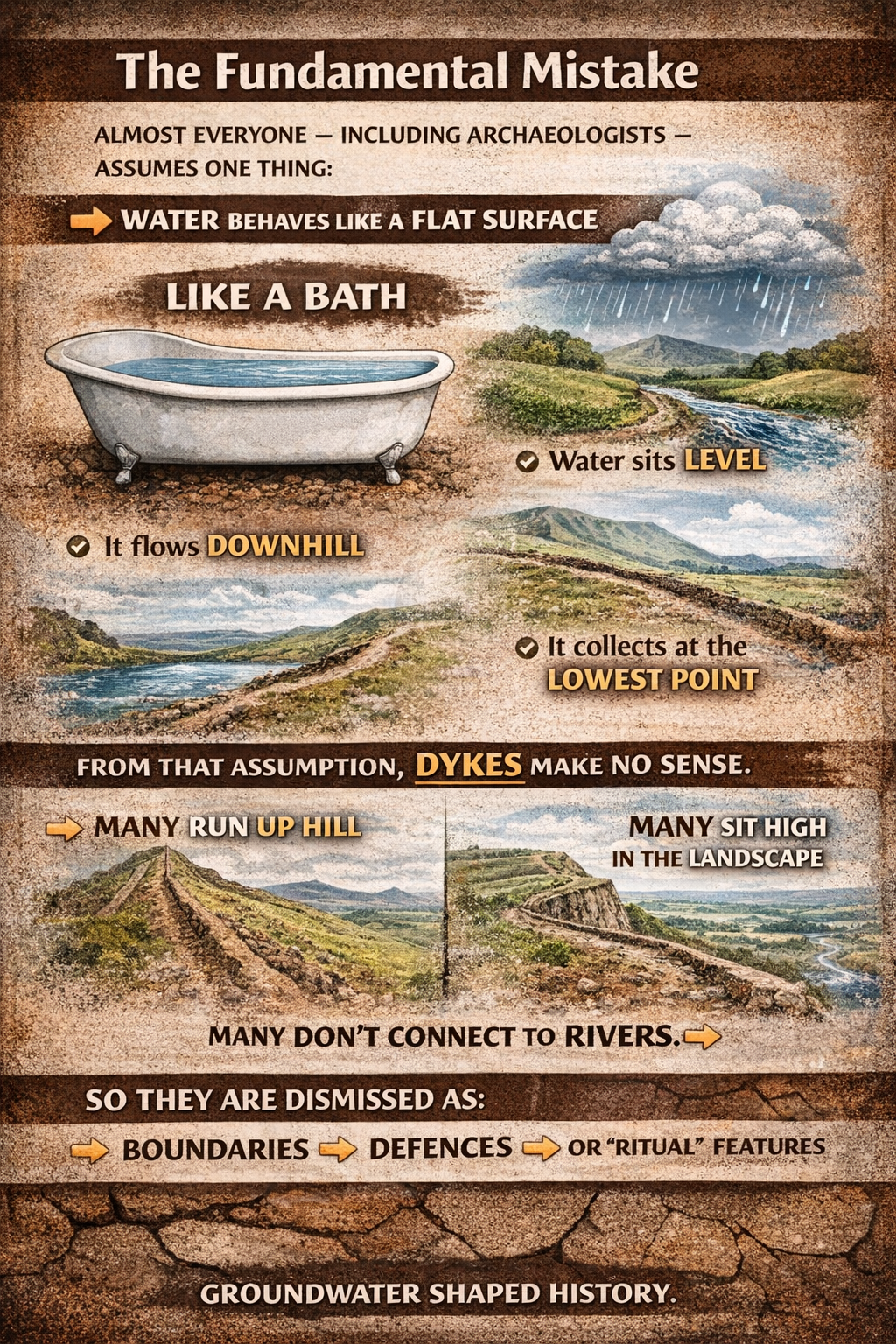
Almost everyone — including archaeologists — assumes one thing:
👉 Water behaves like a flat surface
Like a bath.
So they imagine:
- Water sits level
- It flows downhill
- It collects at the lowest point
From that assumption, dykes make no sense.
Because:
👉 Many run uphill
👉 Many sit high in the landscape
👉 Many don’t connect to rivers
So they are dismissed as:
- Boundaries
- Defences
- Or “ritual” features
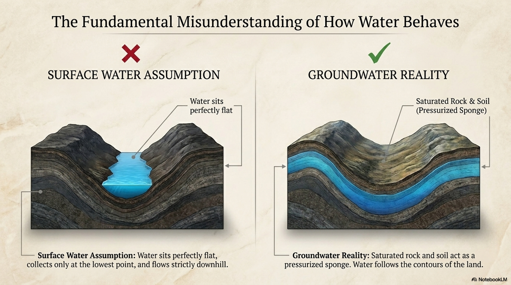
The Reality: Water Does NOT Behave Like a Bathtub
Water on the surface behaves like that.
But water in the ground does not.
And this is the part almost everyone misses.
A huge proportion of the world’s fresh water is underground, stored in soils and rock layers
Think of the landscape not as dry land with rivers…
But as:
👉 A soaked sponge
A Simple Test Anyone Can Do
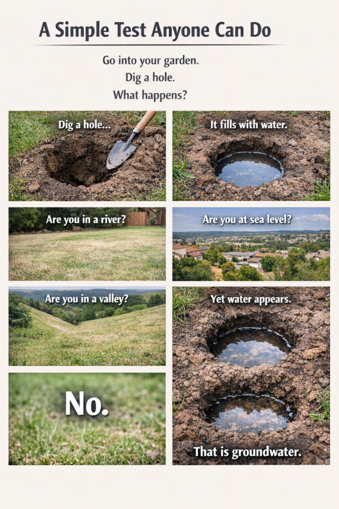
Go into your garden.
Dig a hole.
What happens?
👉 It fills with water
Now ask yourself:
- Are you in a river?
- Are you at sea level?
- Are you even in a valley?
No.
Yet water appears.
That is groundwater.
The Critical Concept: Water Follows the Landscape
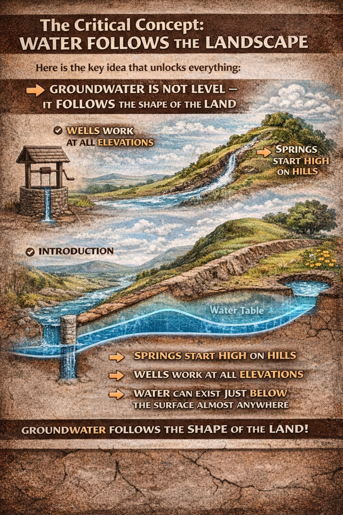
Here is the key idea that unlocks everything:
👉 Groundwater is not level — it follows the shape of the land
This is why:
- Springs start high on hills
- Wells work at all elevations
- Water can exist just below the surface almost anywhere
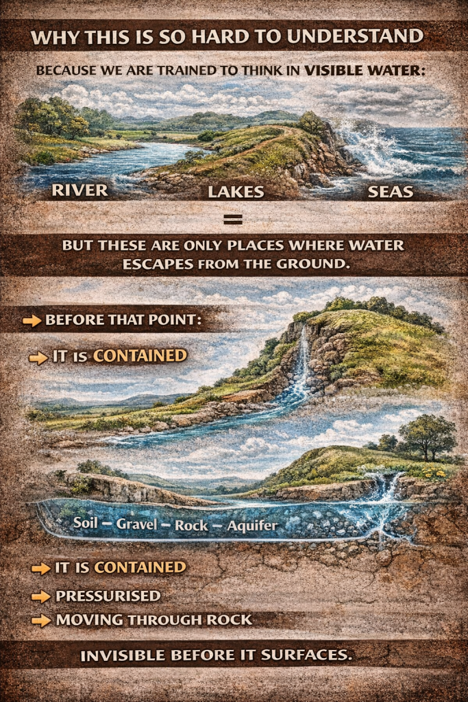
Why This Is So Hard to Understand
Because we are trained to think in visible water:
👉 Rivers
👉 Lakes
👉 Seas
But these are only places where water escapes from the ground.
Before that point:
👉 It is contained
👉 Pressurised
👉 Moving through rock
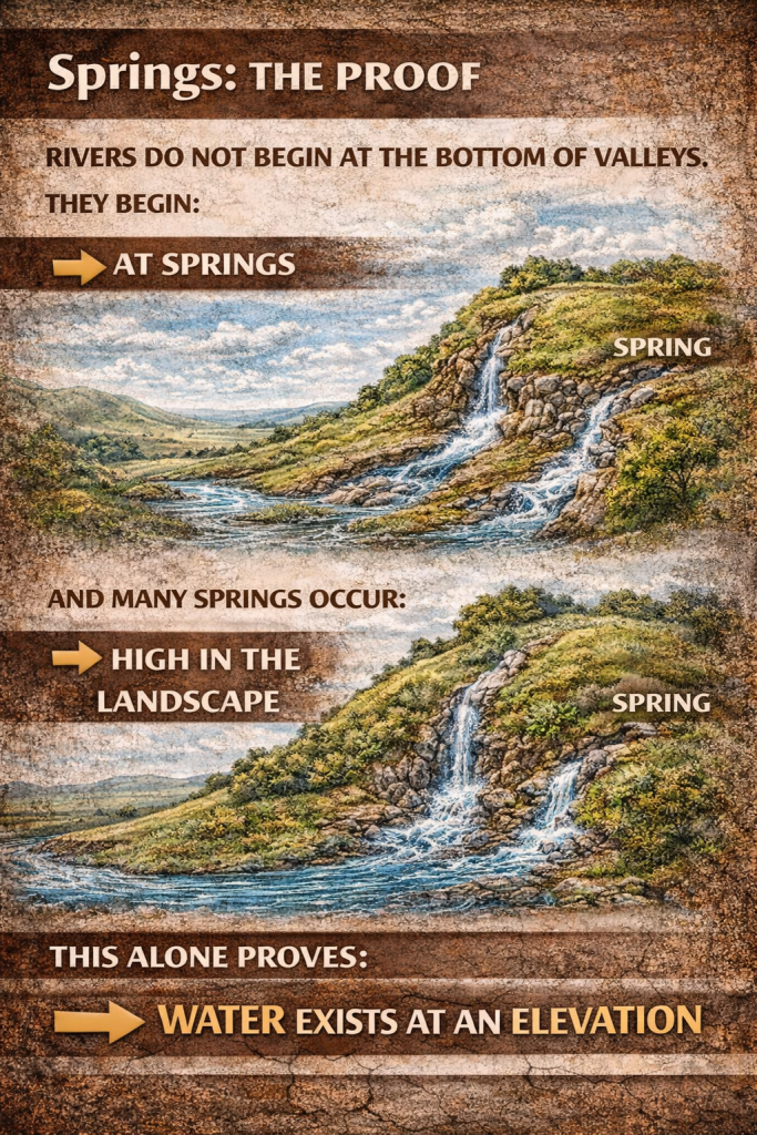
Springs: The Proof
Rivers do not begin at the bottom of valleys.
They begin:
👉 At springs
And many springs occur:
👉 High in the landscape
This alone proves:
👉 Water exists at an elevation
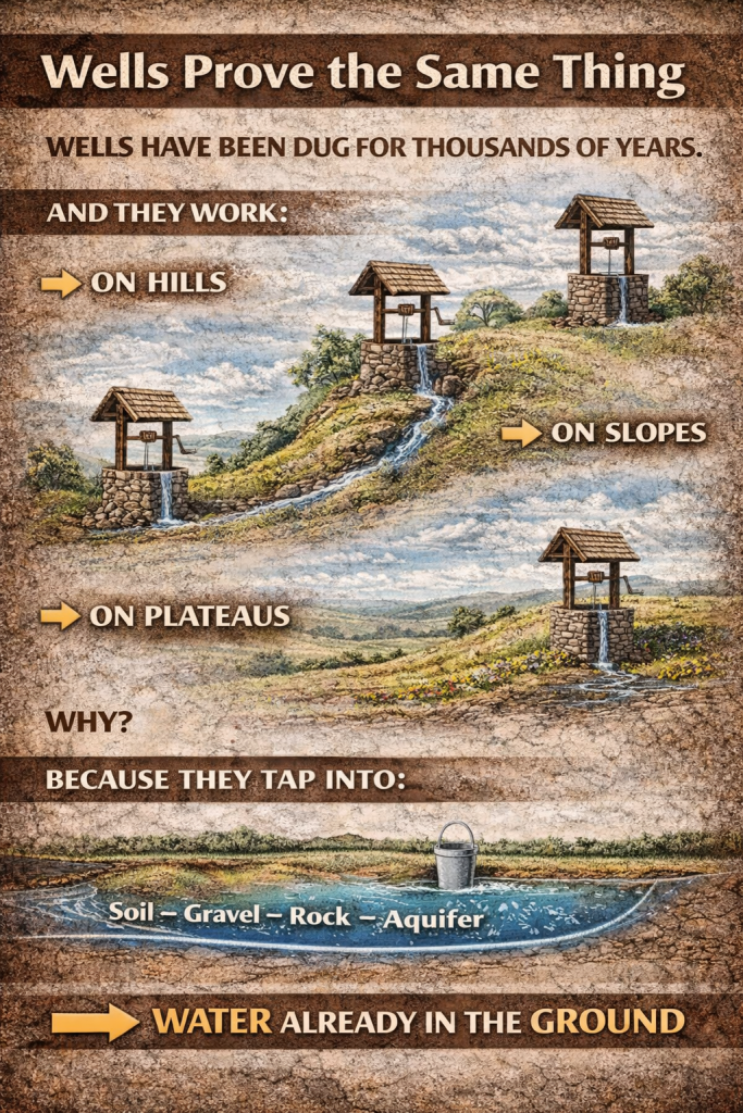
Wells Prove the Same Thing
Wells have been dug for thousands of years.
And they work:
- On hills
- On slopes
- On plateaus
Why?
Because they tap into:
👉 Water already in the ground
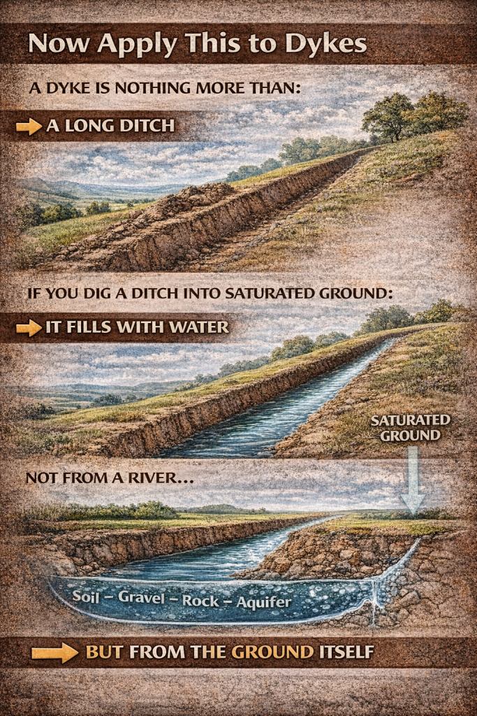
Now Apply This to Dykes
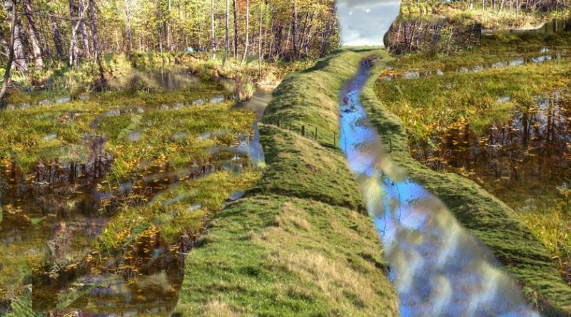
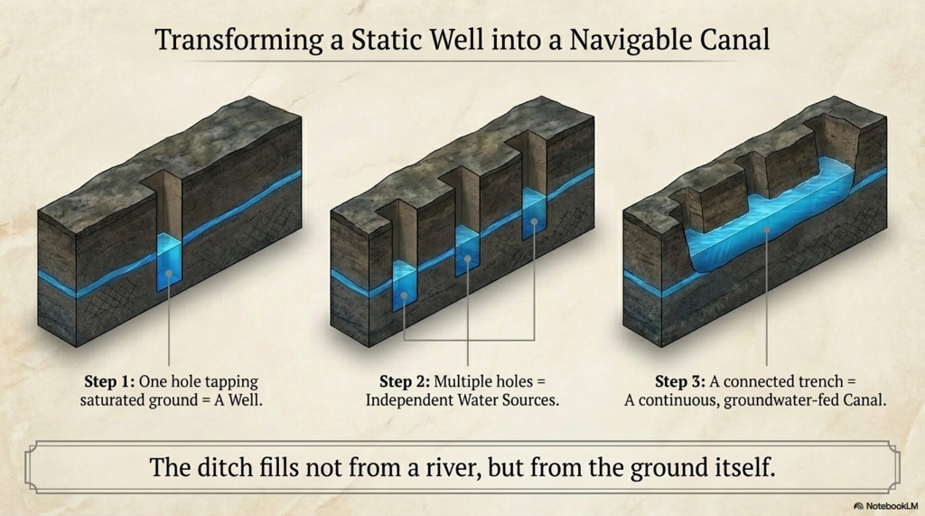
A dyke is nothing more than:
👉 A long ditch
If you dig a ditch into saturated ground:
👉 It fills with water
Not from a river…
👉 But from the ground itself
Turning Wells Into a Canal
Think of it like this:
👉 One hole fills with water = a well
Now connect multiple wells:
👉 You get a continuous water-filled ditch
👉 A canal
The Missing Piece: The Ice Age
Everything changes when we place this into the correct time period.
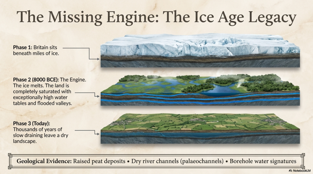
After the last Ice Age:
- Britain was saturated
- Water tables were extremely high
- Rivers were far larger than today
This is not speculation — it is the core basis of the hydrological model
So in the Mesolithic:
👉 Digging even a shallow ditch would hit water
What Britain Actually Looked Like
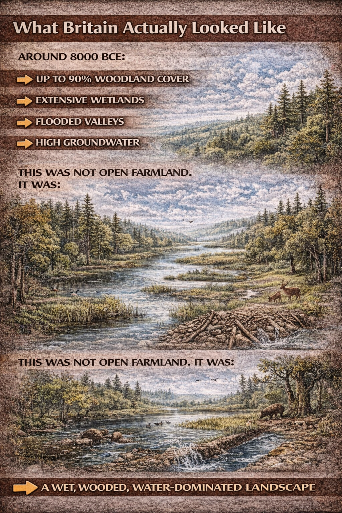
Around 8000 BCE:
- Up to 90% woodland cover
- Extensive wetlands
- Flooded valleys
- High groundwater
This was not open farmland.
It was:
👉 A wet, wooded, water-dominated landscape
Why Dykes Are Not Continuous
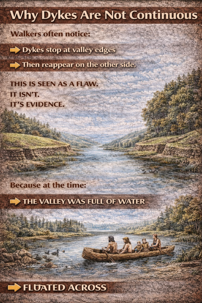
Walkers often notice:
👉 Dykes stop at valley edges
👉 Then reappear on the other side
This is seen as a flaw.
It isn’t.
It’s evidence.
Because at the time:
👉 The valley was full of water
So there was no need to dig.
You simply:
👉 Floated across
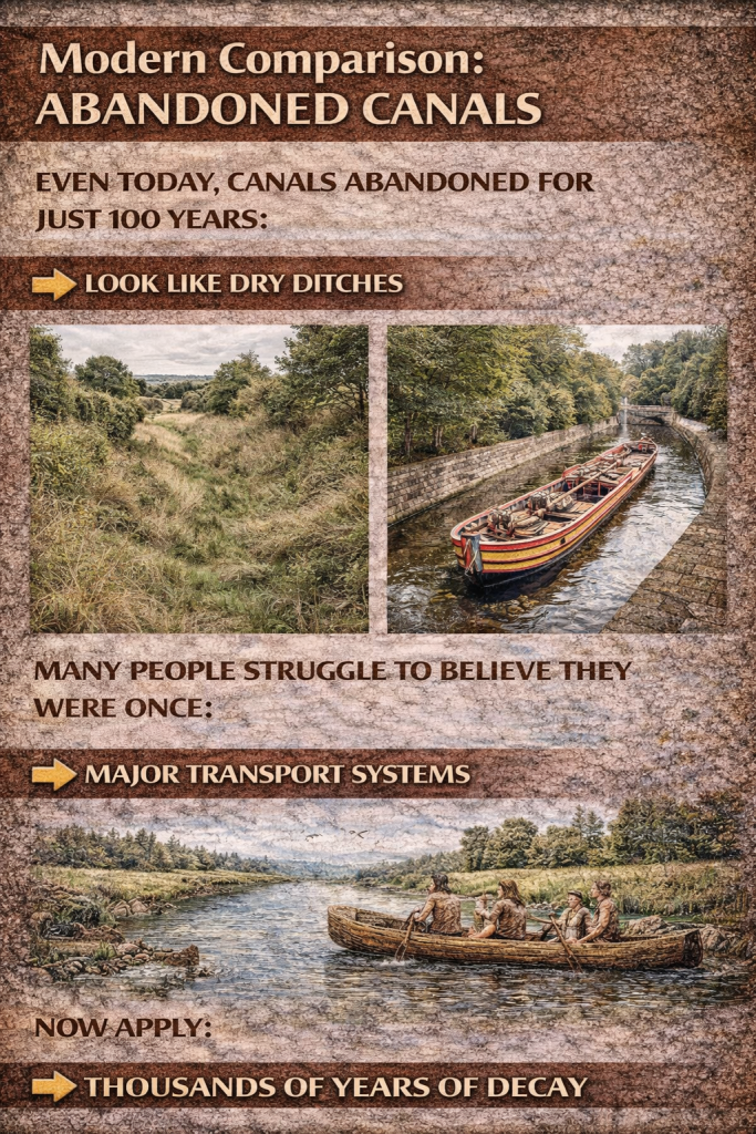
Modern Comparison: Abandoned Canals
Even today, canals abandoned for just 100 years:
👉 Look like dry ditches
Many people struggle to believe they were once:
👉 Major transport systems
Now apply:
👉 Thousands of years of decay
And the misunderstanding becomes obvious.
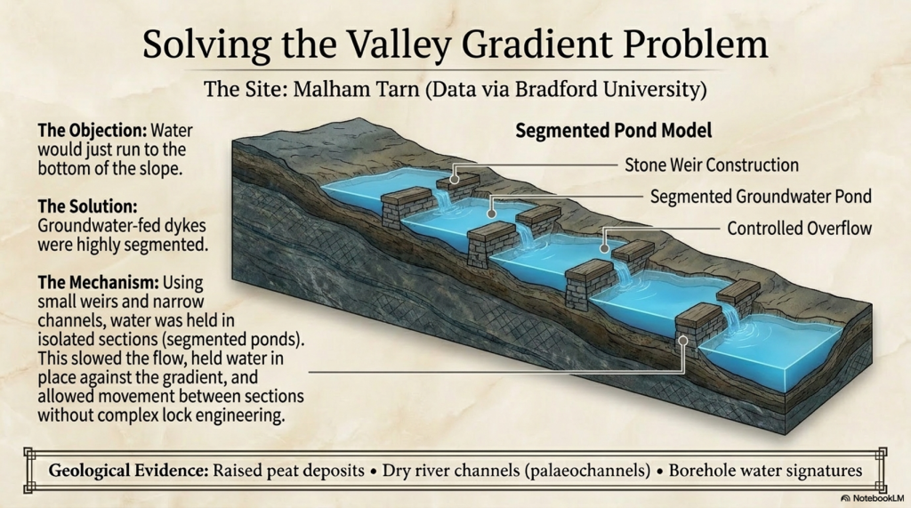
The Valley Gradient Problem
Another objection:
👉 “Water would just run to the bottom”
Again, this assumes surface water.
But dykes were:
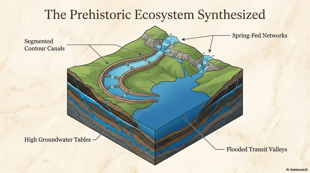
👉 Groundwater-fed
And often:
👉 Segmented
Meaning:
👉 Water is held in sections
👉 Not allowed to drain away
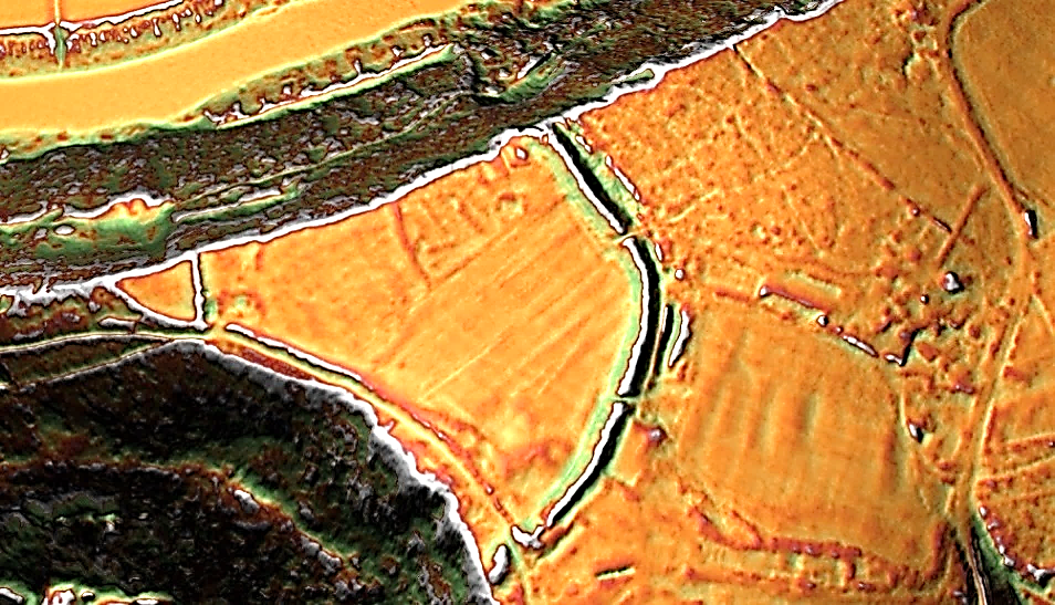
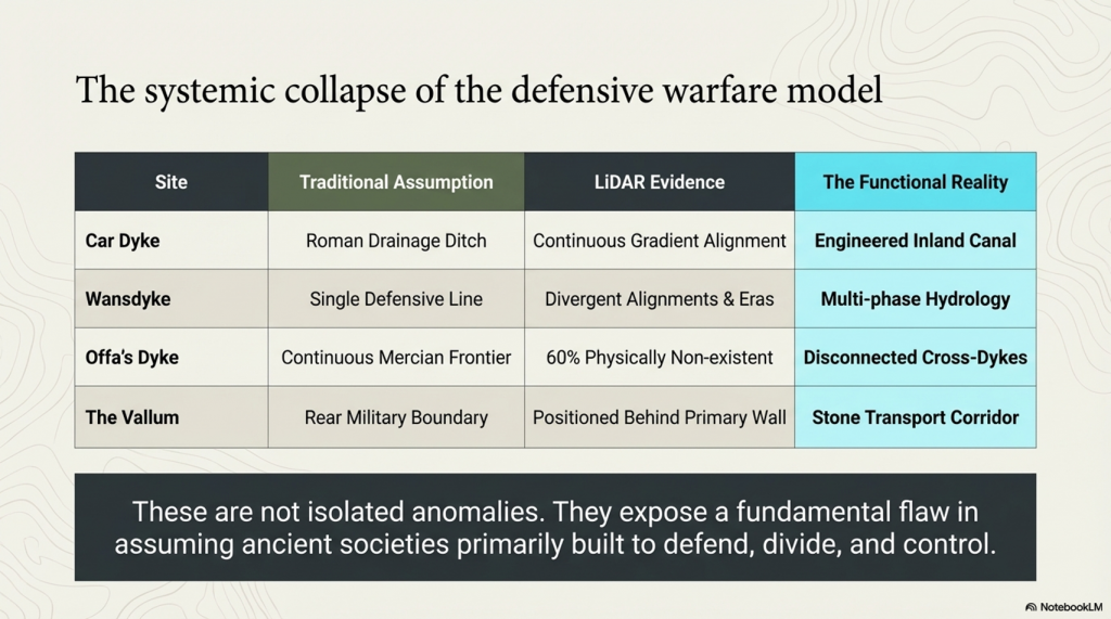
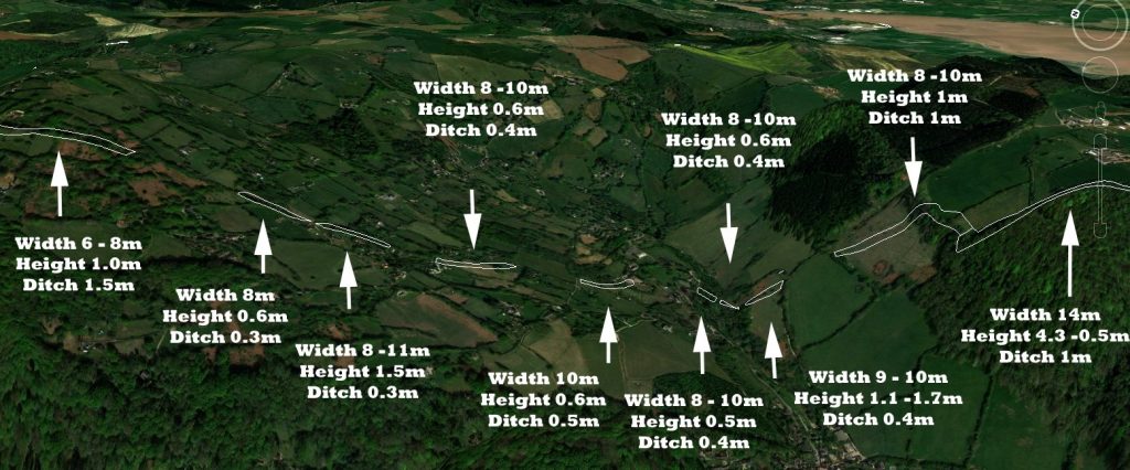
Evidence from Offa’s Dyke (Chepstow)
At Chepstow:
- The dyke changes form in the valley
- It is not continuous
- Sections differ in construction
But one thing remains:
👉 The bank width
This suggests:
👉 Original function changed over time
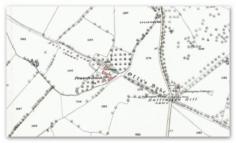
Later Adaptation
As water levels fell:
👉 The ditch became less important
👉 The bank became more important
And eventually:
👉 The dyke became a road
This is confirmed by:
👉 1800s OS maps marked it as an “ancient road”
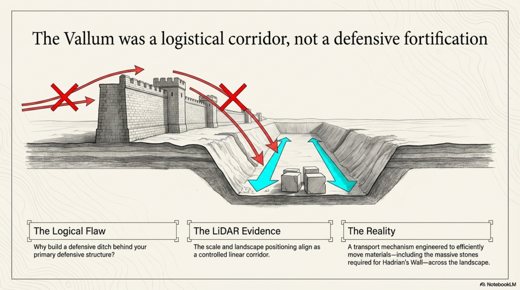
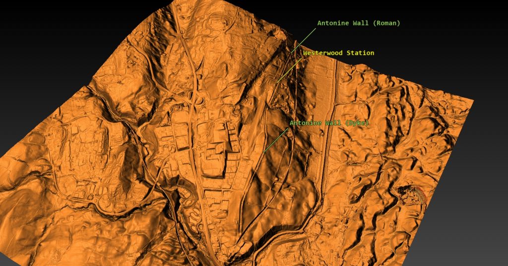
Springs and the Vallum (Hadrian’s Wall)
The Vallum work is critical here.
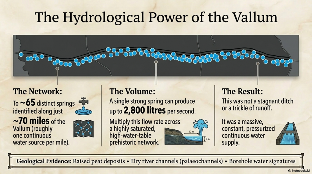
You’ve identified:
👉 ~65 springs along ~70 miles
That’s roughly:
👉 One spring per mile
And that’s just today’s springs.
In a higher water table environment:
👉 There would have been many more
This means:
👉 Continuous water supply
The Power of Springs
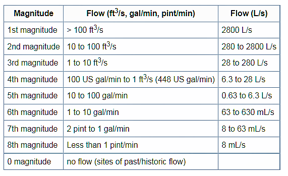
A single strong spring can produce:
👉 Up to 2,800 litres per second
Now multiply that across a system.
This is not a trickle.
👉 It is a constant water source
Managing the Flow
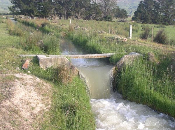
No locks required.
Instead:
- Small weirs
- Narrow channels
- Segmented ponds
These:
👉 Slow the flow
👉 Hold water in place
👉 Allow movement between sections
The Ice Age Legacy
At the peak:
👉 Britain sat under miles of ice
When it melted:
👉 Water saturated the land
And crucially:
👉 It took thousands of years to drain
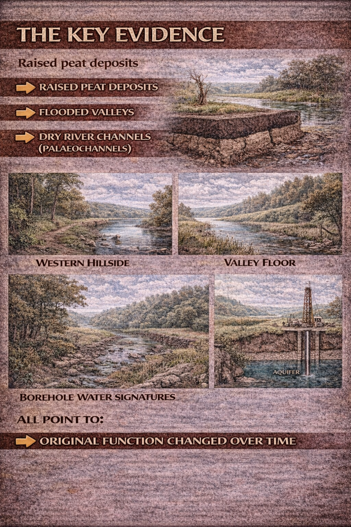
The Key Evidence
- Raised peat deposits
- Flooded valleys
- Dry river channels (palaeochannels)
- Borehole water signatures
All point to:
👉 A long period of high water
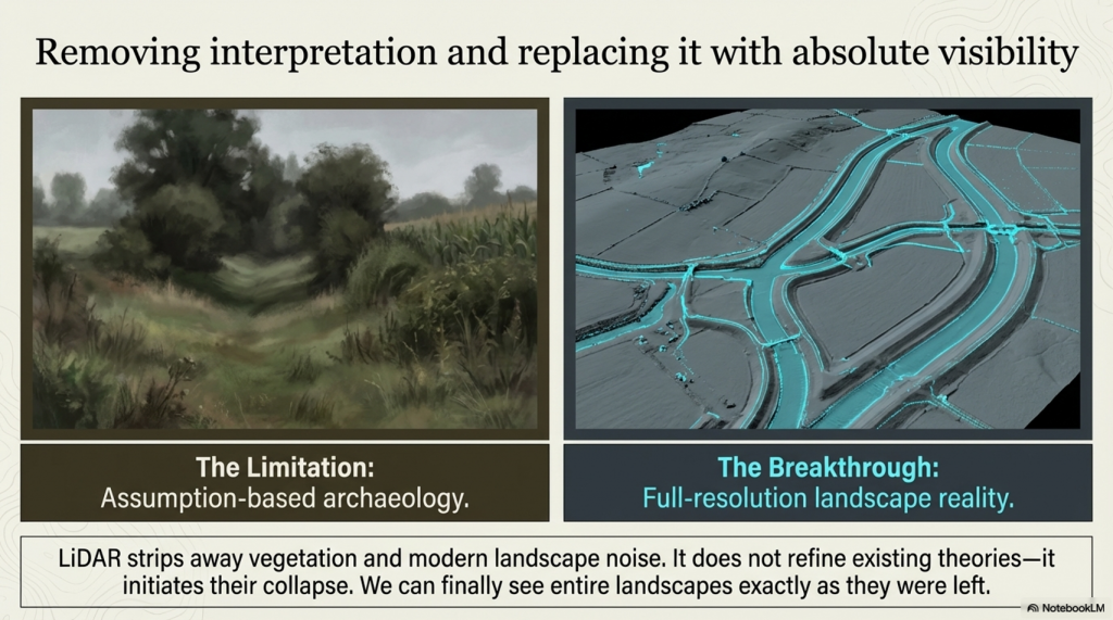
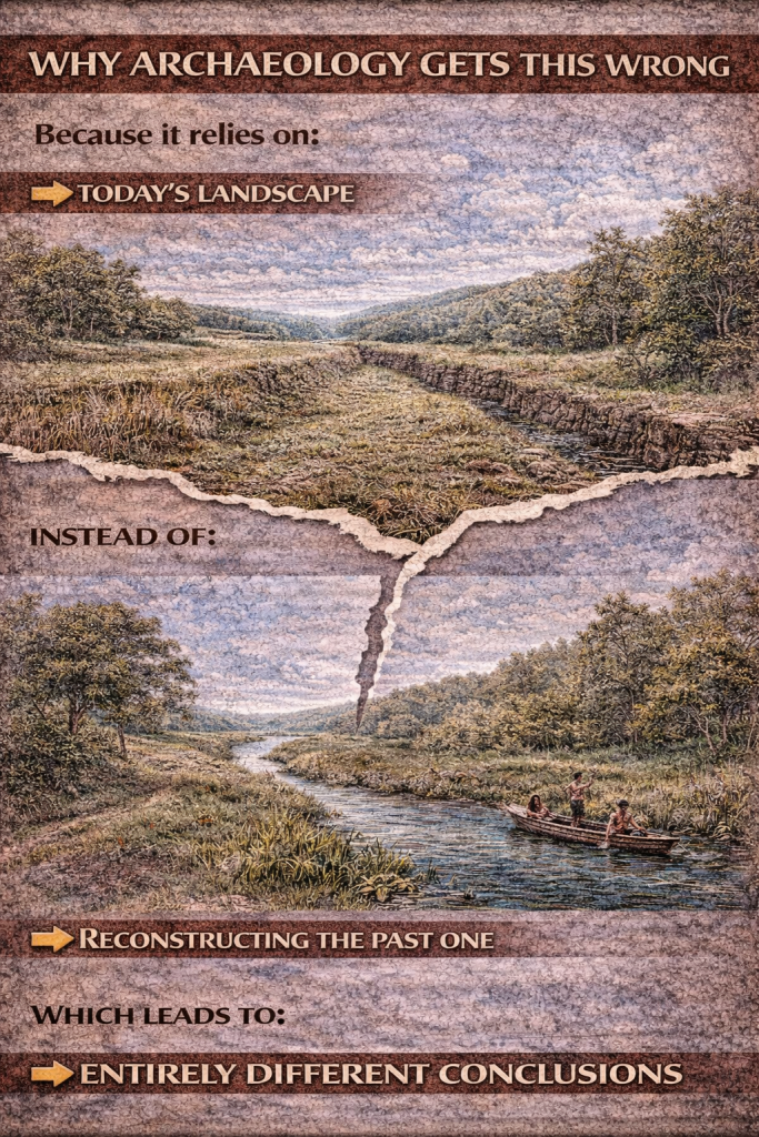
Why Archaeology Gets This Wrong
Because it relies on:
👉 Today’s landscape
Instead of:
👉 Reconstructing the past one
Final Conclusion
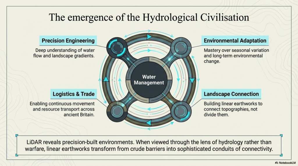
Once you understand groundwater, everything changes.
Dykes no longer need:
❌ Rivers
❌ Locks
❌ Complex engineering
They only require:
👉 A saturated landscape
The One Sentence That Explains Everything
👉 Prehistoric Britain wasn’t dry land with rivers — it was wet land slowly draining.

Author’s Biography

Robert John Langdon, a polymathic luminary, emerges as a writer, historian, and eminent specialist in LiDAR Landscape Archaeology.
His intellectual voyage has been interwoven with stints as an astute scrutineer in government and grand corporate bastions, a tapestry spanning British Telecommunications, Cable and Wireless, British Gas, and the esteemed University of London.
A decade hence, Robert’s transition into retirement unfurled a chapter of insatiable curiosity. This phase saw him immerse himself in Politics, Archaeology, Philosophy, and the enigmatic realm of Quantum Mechanics. His academic odyssey traversed the venerable corridors of knowledge hubs such as the Museum of London, University College London, Birkbeck College, The City Literature Institute, and Chichester University.
In the symphony of his life, Robert is a custodian of three progeny and a pair of cherished grandchildren. His sanctuary lies ensconced in the embrace of West Wales, where he inhabits an isolated cottage, its windows framing a vista of the boundless sea – a retreat from the scrutinising gaze of Her Majesty’s Revenue and Customs, an amiable clandestinity in the lap of nature.
Exploring Prehistoric Britain: A Journey Through Time
My blog delves into the fascinating mysteries of prehistoric Britain, challenging conventional narratives and offering fresh perspectives grounded in cutting-edge research, particularly LiDAR technology. I invite you to explore some key areas of my research. For example, the Wansdyke, often cited as a defensive structure, is re-examined in light of new evidence. I’ve presented my findings in my blog post Wansdyke: A British Frontier Wall – ‘Debunked’, and a Wansdyke LiDAR Flyover video further visualises my conclusions.
My work also often challenges established archaeological dogma. I argue that many sites, such as Hambledon Hill, commonly identified as Iron Age hillforts, are not what they seem. My posts Lidar Investigation Hambledon Hill – NOT an ‘Iron Age Fort’ and Unmasking the “Iron Age Hillfort” Myth explore these ideas in detail and offer an alternative view. Similarly, sites like Cissbury Ring and White Sheet Camp receive re-evaluations based on LiDAR analysis in my posts “Lidar Investigation Cissbury Ring through time” and “Lidar Investigation White Sheet Camp,“ revealing fascinating insights into their true purpose. I have also examined South Cadbury Castle, often linked to the mythical Camelot56.
My research also extends to ancient water management, including the role of canals and other linear earthworks. I have discussed the true origins of Car Dyke in multiple posts, including Car Dyke – ABC News Podcast and Lidar Investigation Car Dyke – North Section, which suggest a Mesolithic origin 2357. I also explore the misidentification of Roman aqueducts, as seen in my posts on the Great Chesters (Roman) Aqueduct. My research has also been greatly informed by my post-glacial flooding hypothesis, which has helped explain landscape transformations over time. I have discussed this hypothesis in several posts, including AI now supports my Post-Glacial Flooding Hypothesis and Exploring Britain’s Flooded Past: A Personal Journey
Finally, my blog also investigates prehistoric burial practices, as seen in Prehistoric Burial Practices of Britain and explores the mystery of Pillow Mounds, often mistaken for medieval rabbit warrens, but with a potential link to Bronze Age cremation in my posts: Pillow Mounds: A Bronze Age Legacy of Cremation? and The Mystery of Pillow Mounds: Are They Really Medieval Rabbit Warrens?. My research also includes astronomical insights into ancient sites, for example, in Rediscovering the Winter Solstice: The Original Winter Festival. I also review new information about the construction of Stonehenge in The Stonehenge Enigma.
Further Reading
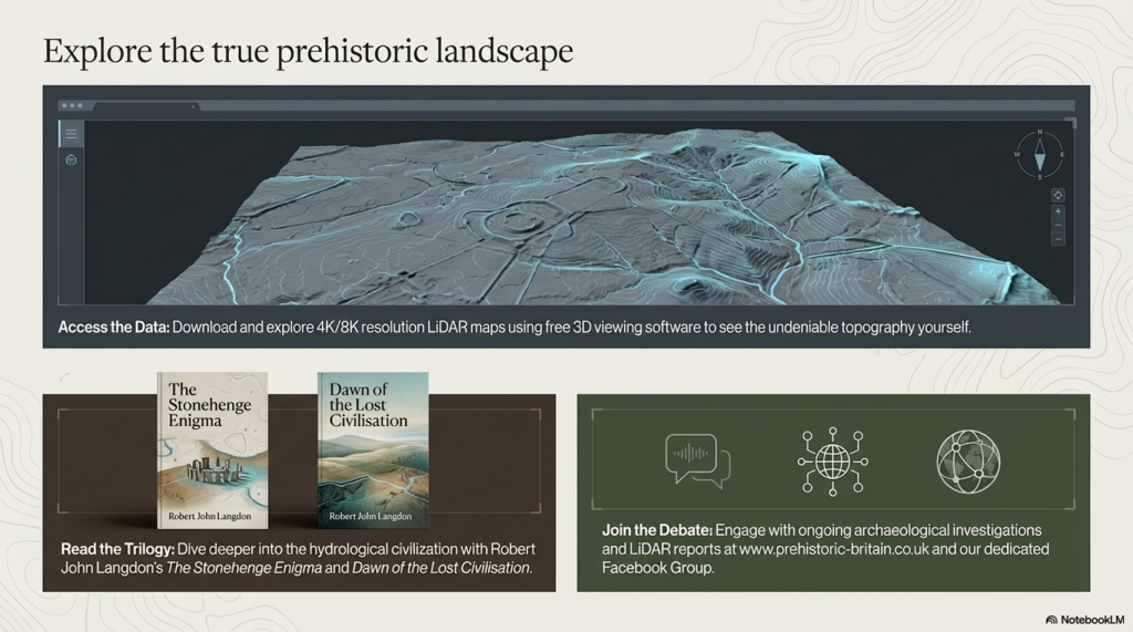
For those interested in British Prehistory, visit www.prehistoric-britain.co.uk, a comprehensive resource featuring an extensive collection of archaeology articles, modern LiDAR investigations, and groundbreaking research. The site also includes insights and excerpts from the acclaimed Robert John Langdon Trilogy, a series of books that explore Britain during the Prehistoric period. Titles in the trilogy include The Stonehenge Enigma, Dawn of the Lost Civilisation, and The Post-Glacial Flooding Hypothesis, which offer compelling evidence of ancient landscapes shaped by post-glacial flooding.
To further explore these topics, Robert John Langdon has developed a dedicated YouTube channel featuring over 100 video documentaries and investigations that complement the trilogy. Notable discoveries and studies showcased on the channel include 13 Things that Don’t Make Sense in History and the revelation of Silbury Avenue – The Lost Stone Avenue, a rediscovered prehistoric feature at Avebury, Wiltshire.
In addition to his main works, Langdon has released a series of shorter, accessible publications, ideal for readers delving into specific topics. These include:
- The Ancient Mariners
- Stonehenge Built 8300 BCE
- Old Sarum
- Prehistoric Rivers
- Dykes, Ditches, and Earthworks
- Echoes of Atlantis
- Homo Superior
- 13 Things that Don’t Make Sense in History
- Silbury Avenue – The Lost Stone Avenue
- Offa’s Dyke
- The Stonehenge Enigma
- The Post-Glacial Flooding Hypothesis
- The Stonehenge Hoax
- Dawn of the Lost Civilisation
- Darwin’s Children
- Great Chester’s Roman Aqueduct
- Wansdyke
For active discussions and updates on the trilogy’s findings and recent LiDAR investigations, join our vibrant community on Facebook. Engage with like-minded enthusiasts by leaving a message or contributing to debates in our Facebook Group.
Whether through the books, the website, or interactive videos, we aim to provide a deeper understanding of Britain’s fascinating prehistoric past. We encourage you to explore these resources and uncover the mysteries of ancient landscapes through the lens of modern archaeology.
For more information, including chapter extracts and related publications, visit the Robert John Langdon Author Page. Dive into works such as The Stonehenge Enigma or Dawn of the Lost Civilisation, and explore cutting-edge theories that challenge traditional historical narratives.
Other Blogs
[sitemap_posts]